GIStract Hydrology & Flash Flood Screening System
Free GIS-based Flash Flood Screening tool for runoff estimation, peak flow Qp, land-cover analysis, and flood risk assessment using DEM and SCS-CN.
Flash Flood Risk Analysis
✔ Free Hydrological Report & Map Export
Result
🔹 3-Step Hydrology & Flash Flood Workflow
1. Search or Zoom to Your Area
Locate your study area anywhere using the interactive GIS map.
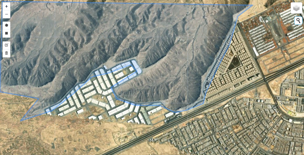
2. Draw the Analysis Boundary
Define the target area using polygon or rectangle tools.
3. Run Hydrological Screening
Generate runoff estimation, land-cover analysis, peak flow (Qp), and preliminary flash flood screening instantly.
🔹Key Features
✔ High-Resolution DEM Terrain & Watershed Analysis
✔ Automated ESA WorldCover Land Use / Land Cover Classification
✔ GIS-Based SCS-CN Runoff & Hydrological Modeling
✔ Peak Flow (Qp) Estimation for Flash Flood Assessment
✔ Flash Flood Risk Screening & Watershed Evaluation
✔ Interactive GIS Mapping with DEM-Derived Terrain Analysis
✔ Free Hydrological Report & Flood Risk Map Export